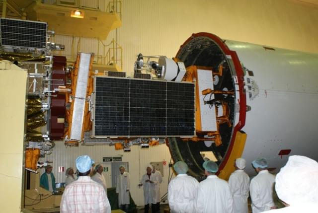
The South African satellite, SumbandilaSat (Pathfinder in Venda) is reaching the end of its life and will deorbit on Friday 10 December 2021.
The satellite was launched in 2009 and took a total of 1,128 high-resolution, usable images. In addition, these imageries were applied in local research and on the Copernicus (previously GMES: Global Monitoring for Environment and Security) programme. The data also contributed towards disaster management such as flood monitoring in Namibia and fire campaigns in the Kruger National Park in South Africa. Furthermore, it also recorded timely images of the Fukushima nuclear disaster and the Tuscaloosa tornado in the USA.
In May 2005, the then DST (Department of Science and Technology) of the South African Government commissioned Stellenbosch University and SunSpace to develop the ZASat pathfinder satellite program (later renamed SumbandilaSat), a technology demonstrator in conjunction with the South African industry. Consequently, SumbandilaSat was delivered 15 months later and launched from Baikonur, Kazakhstan on September 17 2009 with monitoring and satellite support from the SANSA Space Operations facility in Hartebeesthoek.
