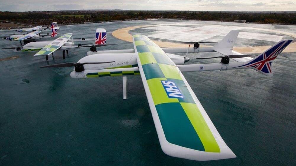
As organizations increasingly look to employ drones for everything from deliveries to pest control to surveillance, safety in the skies is becoming an issue that demands more attention. Regulations around drones and their flight vary widely between countries and regions, but to really start scaling the technology there will need to be more standardization in terms of who can fly where, how fast, how high, etc.
The UK is taking the lead on drone mobility, with an announcement this week of plans to build a 165-mile (265 kilometer) “drone superhighway.” Project Skyway is being led by Altitude Angel, a UK aerospace and unified traffic management company, and involves a consortium of other stakeholders, including British Telecommunications Group.
So how do you build a highway in the air? Picture a corridor of airspace running between various cities, with drones zooming back and forth in the designated segments of sky. The differentiating factor here is that rather than each drone using its own onboard sensors to navigate the route, they all tap into a ground-based network of sensors. This network brings together data from multiple sources to create a real-time, high-resolution moving map of the airspace and guides drones to their destinations.
