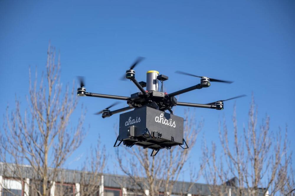
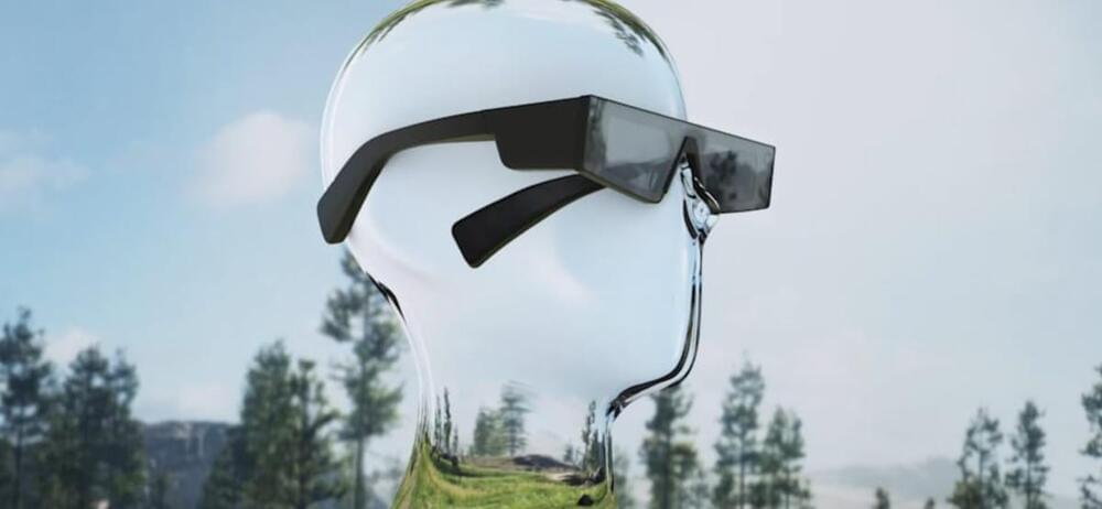
Toggle light / dark theme

As organizations increasingly look to employ drones for everything from deliveries to pest control to surveillance, safety in the skies is becoming an issue that demands more attention. Regulations around drones and their flight vary widely between countries and regions, but to really start scaling the technology there will need to be more standardization in terms of who can fly where, how fast, how high, etc.

The UK is taking the lead on drone mobility, with an announcement this week of plans to build a 165-mile (265 kilometer) “drone superhighway.” Project Skyway is being led by Altitude Angel, a UK aerospace and unified traffic management company, and involves a consortium of other stakeholders, including British Telecommunications Group.

So how do you build a highway in the air? Picture a corridor of airspace running between various cities, with drones zooming back and forth in the designated segments of sky. The differentiating factor here is that rather than each drone using its own onboard sensors to navigate the route, they all tap into a ground-based network of sensors. This network brings together data from multiple sources to create a real-time, high-resolution moving map of the airspace and guides drones to their destinations.

BEC was kind enough to share a parts list of everything used to create this project. It’s operated primarily by a Raspberry Pi Zero 2 W, with most components housed neatly inside an acrylic cylinder. It’s driven by a drone propeller alongside a couple of Pololu 2,130 DRV8833 Dual H-bridge motor drivers. The sensors include both a pressure sensor and a distance sensor, while a Lego Rechargeable 9V Battery Box supplies the power with the assistance of a Pololu 2,123 S7V8F5 5V voltage regulator.

The Raspberry Pi runs Raspberry Pi OS, while the code used to operate the submarine functions is handled using a custom Python script. BEC explains that Thonny was used to run the Python code, which is open-source and available for anyone to explore.

If you want to recreate this Raspberry Pi project for yourself or make something similar, check out the full blog post shared on the official Brick Experiment Channel blog. We also implore you to check out the video shared on YouTube for a demo of the submarine in action.

Designed for precision agriculture and environmental management use cases, the P4 Multispectral drone combines data from six separate sensors to measure the health of crops. It can be used to monitor everything from individual plants to entire fields, as well as weeds, insects, and a variety of soil conditions.

The P4 Multispectral drone is compatible with standard industry workflows including flight programming, mapping, and analytics software from DJI and other leading providers. Using the DJI GS Pro application, you can create automated and repeatable missions including flight planning, mission execution, and flight data management. Data collected can be easily imported into DJI Terra or a suite of third-party software including Pix4D Mapper and DroneDeploy, for analysis and to generate additional vegetation index maps.

The drone was first announced in 2019.

When communication lines are open, individual agents such as robots or drones can work together to collaborate and complete a task. But what if they aren’t equipped with the right hardware or the signals are blocked, making communication impossible? University of Illinois Urbana-Champaign researchers started with this more difficult challenge. They developed a method to train multiple agents to work together using multi-agent reinforcement learning, a type of artificial intelligence.

“It’s easier when agents can talk to each other,” said Huy Tran, an at Illinois. “But we wanted to do this in a way that’s decentralized, meaning that they don’t talk to each other. We also focused on situations where it’s not obvious what the different roles or jobs for the agents should be.”

Tran said this scenario is much more complex and a harder problem because it’s not clear what one agent should do versus another agent.

How do you teach an autonomous drone to fly itself? Practice, practice, practice. Now Microsoft is offering a way to put a drone’s control software through its paces millions of times before the first takeoff.

The cloud-based simulation platform, Project AirSim, is being made available in limited preview starting today, in conjunction with this week’s Farnborough International Airshow in Britain.

“Project AirSim is a critical tool that lets us bridge the world of bits and the world of atoms, and it shows the power of the industrial metaverse — the virtual worlds where businesses will build, test and hone solutions, and then bring them into the real world,” Gurdeep Pall, Microsoft corporate vice president for business incubations in technology and research, said today in a blog posting.